Trip to Cumberland Co, Kentucky, October, 2003 - Jim and Sharon Crawford
Cumberland Co. is roughly 15 mi X 15 mi, with the Cumberland River
flowing through it from Northeast to Southwest. The River makes 4 big oxbow
loops within the County, forming areas called "Bottoms" that are bounded by
the River on three sides. The River travels over 30 miles from the east
county line to the west, although by air it is under 15 miles. The River is
wide and fast, entirely too fast to swim. There are only 2 bridges in the
County over the river, both just south of Burkesville, which is in the
center of the County. There are rolling hills away from the River, all
forest covered, with green grassy fields along the highways with principally
hay and corn. Tobacco is or was also grown in this area. The main highway
through the county, Kentucky 90, winds its way through the valleys, past
small farms, many of which have an old, gray barn in various states of
collapse attesting to the fact that the region economically is past its prime.
The County Seat is Burkesville, a town with a population around 3,000.
Coming from the west, the highway makes a 90 degree turn near the center
of town, and proceeds southwest two blocks before coming to the County
Court House, smack dab in the middle of the road. The road forms a square
rotary around the court house, and the businesses around the square form
the old downtown, which, like the barns in the country-side, are on the
decline. There are several nice historical signs around the court house,
as can be seen in the photos at the bottom. A couple of blocks toward the
river is a large park area with ball fields, playground, etc. plus the
oldest remaining house in the county, built around 1803(?).
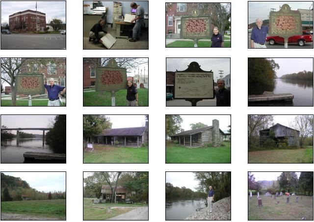
Click on a small image to see a larger picture. The pictures are:
1. Cumberland County Court House in Burkesville.
2. In the records room at the County Clerk's office. The man is Dean, a descendent of one of the principle Burkesville families.
3. Sharon and one of several history signs.
4. Jim and one of several history signs.
5. Jim and one of several history signs.
6. Sharon and one of several history signs.
7. Jim and one of several history signs.
8. Cumberland River looking north from the motel dock
9. Cumberland River looking south from the motel dock
10. Sharon and oldest building in Cumberland Co (200 years old)
11. Oldest building in Cumberland Co (200 years old)
12. Old barn in Irish Bottom
13. Field at end-of-road in Irish Bottom
14. Old building at end-of-road in Irish Bottom
15. Jim along Cumberland River looking south at end-of-road in Irish Bottom
16. Sharon in cemetery near end-of-road in Irish Bottom